Transform raw aerial imagery into actionable intelligence. Our NDVI
mapping and precision agriculture solutions help you identify crop
stress, optimize irrigation, and maximize yield—all delivered within 24
hours of flight.
From NDVI vegetation indices to thermal imaging, we provide the data you
need to make informed decisions about your crops.
NDVI Mapping
Normalized Difference Vegetation Index analysis to assess plant
health, identify stressed areas, and track crop development throughout
the season.
Plant health visualization
Problem area identification
Season-over-season comparison
Crop Stress Detection
Identify water stress, nutrient deficiencies, pest infestations, and
disease outbreaks before they impact your yield. Early detection saves
crops.
Water deficiency mapping
Nitrogen deficiency analysis
Pest & disease early warning
Irrigation Planning
Optimize your water usage with variable rate irrigation maps. Target
dry spots and prevent overwatering with precision zone mapping.
Moisture distribution maps
Variable rate prescriptions
Water efficiency analysis
Yield Estimation
Accurate pre-harvest yield predictions to help with marketing
decisions, logistics planning, and storage requirements.
Field-by-field projections
Historical comparison
Revenue forecasting
Harvest Optimization
Determine optimal harvest timing and sequences. Identify high-value
zones for premium contracts and adjust based on crop maturity maps.
Maturity mapping
Zone-based harvest plans
Quality zone identification
Stand Counts
Automated plant population analysis to assess germination rates,
identify replant zones, and verify seed placement accuracy.
Population density maps
Gap identification
Insurance documentation
Simple Process
From Flight to Field-Ready Data in 24 Hours
Our streamlined workflow gets actionable data into your hands fast. No
waiting weeks for results—just clear, precision mapping delivered when
you need it.
1
Book Your Flight
Schedule your survey at the optimal time for your crop stage.
We'll coordinate with certified pilots in your area.
2
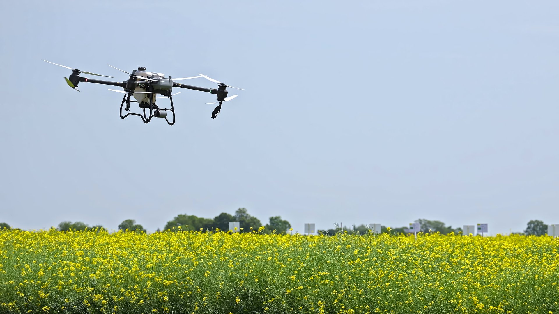
Aerial Data Collection
Our pilots capture high-resolution multispectral and RGB imagery
using professional-grade sensors at sub-meter accuracy.
3
Expert Analysis
Our agronomists process the data through DroneDeploy to generate
NDVI maps, stress analysis, and prescription maps.
4
Deliver Your Report
Receive a comprehensive report with zone maps, problem area
annotations, and actionable recommendations within 24 hours.