We use cookies to enhance your browsing experience, serve
personalized content, and analyze our traffic. By clicking "Accept
All", you consent to our use of cookies.
Read our Privacy Policy
Essential Cookies
Always Active
Required for website functionality. Cannot be disabled.
Analytics
Help us understand how visitors interact with our website.
Marketing
Used to deliver personalized advertisements.
Trusted by 500+ Businesses Nationwide
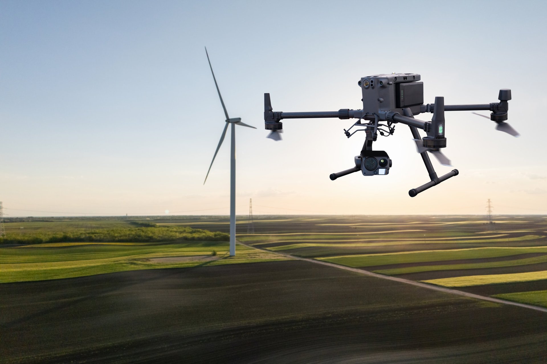
Professional Drone Services for
Every Industry
From precision agriculture to emergency response, access our network of
10,000+ certified pilots. Fast deployment, professional data delivery,
and actionable insights—all from one platform.
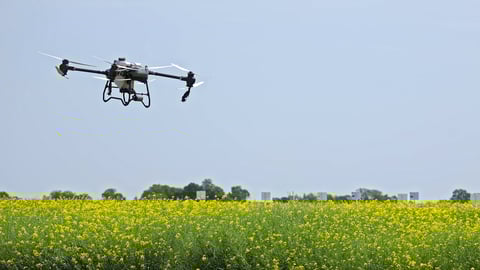
From sprawling farmland to disaster zones, our drone solutions adapt
to your industry's unique challenges. We partner with industry leaders
like DroneDeploy and Globhe to deliver professional-grade results.