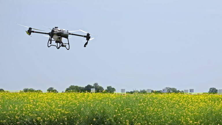
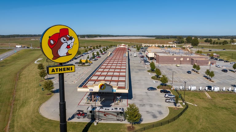
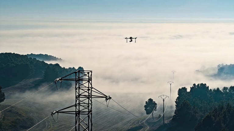
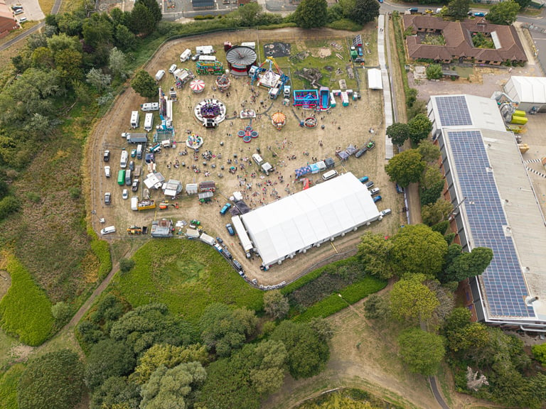
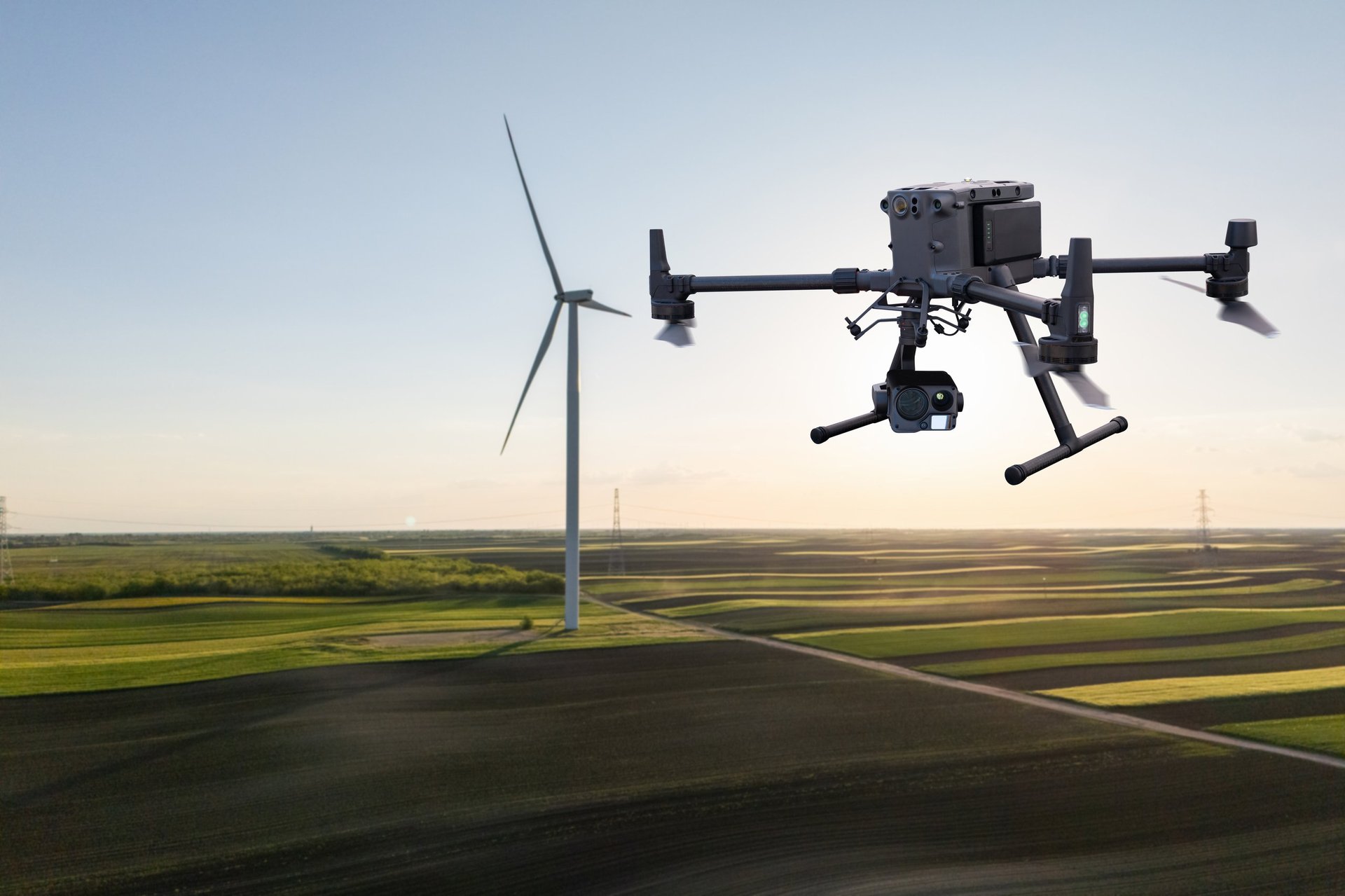
From precision agriculture to emergency response, our network of 10,000+ certified pilots delivers professional results. Access specialized expertise through one unified platform.
Tailored drone services for agriculture, utilities, emergency response, and more. Each solution is designed to deliver actionable results.
NDVI mapping, crop health analysis, yield estimation, and irrigation optimization for smarter farming.
Rapid deployment for disaster assessment, search & rescue, and insurance claim documentation.
Comprehensive infrastructure monitoring, vegetation management, and thermal fault detection.
FAA regulation guidance, Part 107 certification, safety training, and compliance consulting.
Real-time herd tracking, health assessment, and pasture management for ranchers.
NDVI mapping, stress detection, and yield predictions for precision agriculture.
AI-driven roof damage assessment and automated insurance claims documentation.
Pre-disaster documentation and commercial property risk assessment.
Our consultation services help you identify the right drone solutions for your specific challenges. Get personalized recommendations from our team of industry experts.
30-minute introductory call to understand your needs and explore how drone services can help your business.
Comprehensive on-site evaluation of your property or project to determine optimal drone service approach.
Full review of your drone operations for FAA compliance. Includes Remote ID, waiver status, and safety protocol assessment.
Through our partnership with Globhe, we offer access to the world's largest network of certified drone pilots. Whether you need one flight or a hundred, we have the capacity and expertise to deliver.
Whether you need a single flight or ongoing drone services, our team is ready to help. Get a custom quote or schedule a free consultation today.