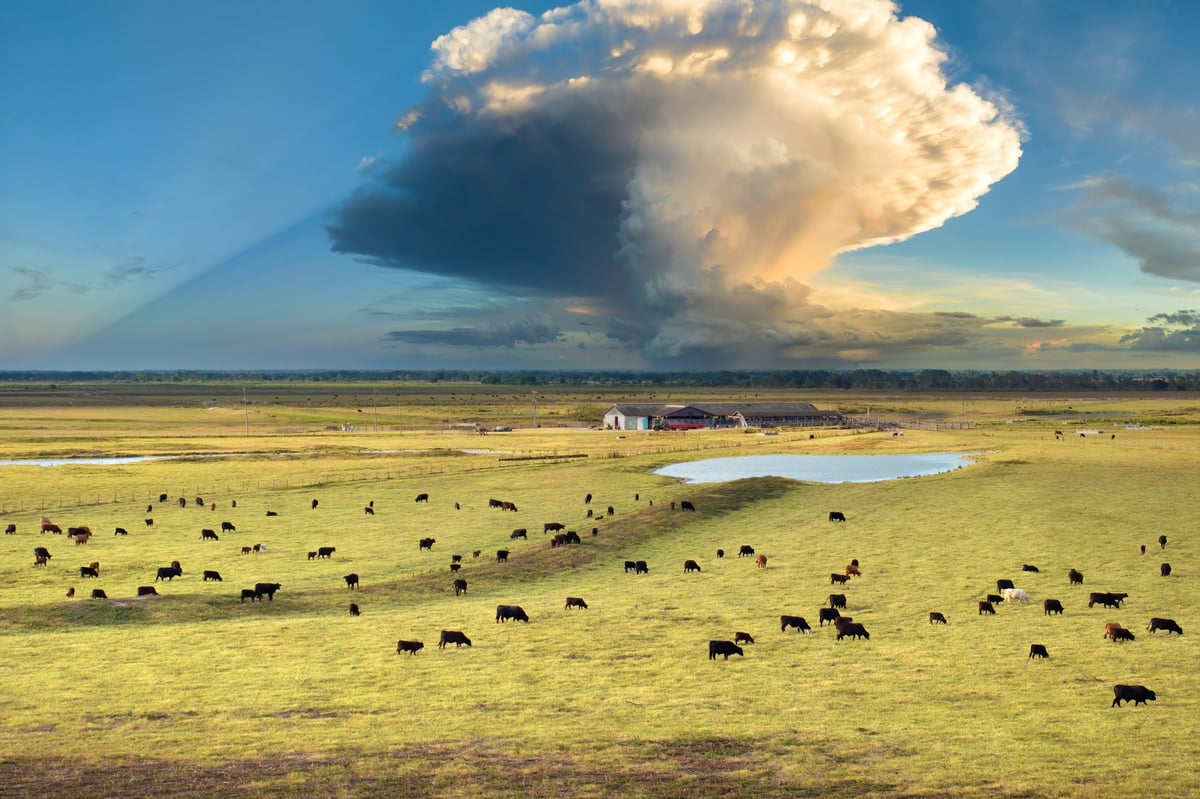
Count cattle, bison, sheep, and wildlife from the sky. Forest services, ranchers, and land managers trust drones to monitor herds faster, safer, and more accurately than ever before.
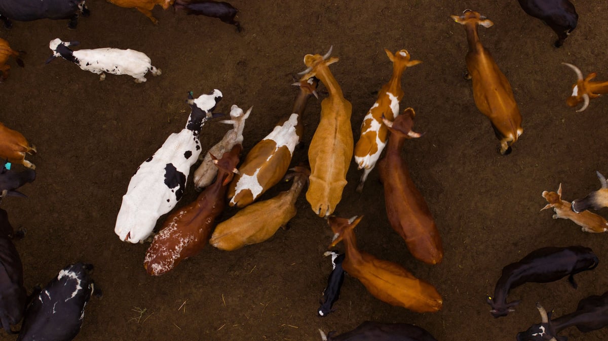
From cattle ranches to wildlife conservation, our drones help you see, count, and manage livestock and wildlife across any terrain.
Count cattle across thousands of acres in hours. Perfect for inventory verification, preg checks, and herd health monitoring.
Monitor bison herds safely without disturbing the animals. Ideal for preserves, tribal lands, and conservation programs.
Track sheep and goat herds across rugged terrain. Perfect for range management and flock verification programs.
Count bighorn sheep in steep canyon terrain without climbing. Forest services and wildlife agencies trust this method.
Wildlife surveys for elk, deer, and other game animals. Essential for game management and conservation programs.
Third-party herd verification for insurance claims, ranch sales, and government program compliance.
Traditional herd counting means horseback, ATV, or walking acres of rough terrain. Our drones cover the same ground in a fraction of the time — and with better accuracy.
Count thousands of head in hours, not days. Cover more ground without disturbing your herd.
High-resolution imagery and AI-assisted counting means fewer missed animals and more reliable numbers.
Bison, wildlife, and sensitive herds stay calm. No horseback, no vehicles scaring animals into the next county.
Timestamped aerial imagery serves as proof for insurance, sales, or government program compliance.
Whether you run 50 head or 50,000, we help you monitor your herd from the sky. Get a custom quote for your ranch or wildlife management needs.